NOAA live streams video from the Marianas Trench

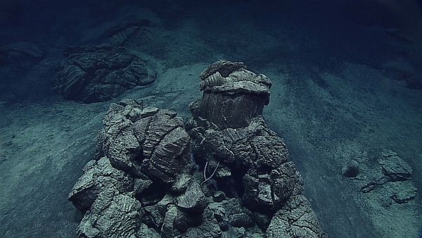
NOAA is live streaming video from ROVs exploring the Marianas Trench and surrounding areas. The Okeanos Explorer is carrying out an expedition to collect baseline information and survey this largely unexplored area. The explorations is useing “teleprescence” to interpret data, with scientists in the U.S.A. standing “watches” as the video feeds are piped live from the vessel via satellite internet and providing comments as they view them.

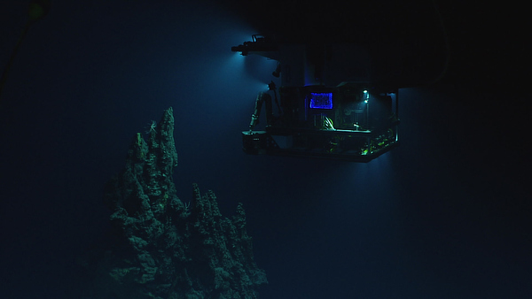
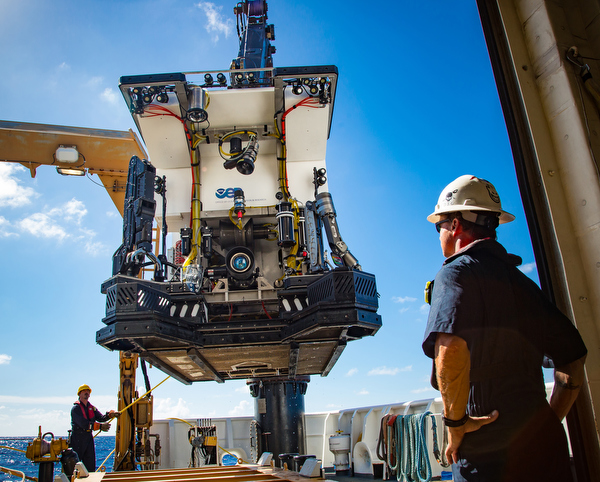
The Deep Discoverer ROV is making dives down to 6,000 meters. These dives are surveying seafloor habitats and include high-resolution visual surveys and limited sampling. In the image above, you can see the ROV’s lighting system, HD camera, and sample collection equipment (drawers, boxes, an advanced manipulator, and positionable illumination system).
The Expedition has three video live streams:
The live streamed video is also available via an app for iOS or Android.

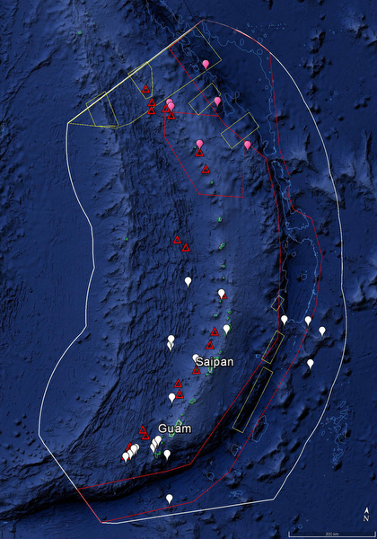
“Leg 1 of the expedition will focus on the southern half of the CNMI and MTMNM, and Legs 2 and 3 will focus on the northern half. The white line shows the U.S. Exclusive Economic Zone, the red polygons are the boundaries of the Trench and Islands Unit of the MTMNM, and the red triangles are the Vents Unit of MTMNM. The green contour lines are the 250-meter contours surrounding Guam and the CNMI, and light blue are 6,000-meter contours marking the shallow and deep end of the depth range for operations. The white balloons show the location of planned ROV dives during Leg 1 of the expedition, and the pink balloons are some of the dives planned for Leg 3 (more sites will be identified based on mapping data acquired during Leg 2). The yellow boxes are areas where mapping data has been requested by scientists and managers.”

All images courtesy of the NOAA Office of Ocean Exploration and Research, 2016 Deepwater Exploration of the Marianas.